- Start
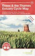
- Essex and the Thames Estuary Cycle Map
Essex and the Thames Estuary Cycle Map
Angebote / Angebote:
This is in the series of pocket sized, folded maps to the National Cycle Network which include clearly mapped on-road and traffic-free paths, easy to read contours and detailed town insets. The series is published by Sustrans. 1:110, 000 scale, folded 155mm x 99mm, flat 792mm x 630mm.
Fremdlagertitel. Lieferzeit unbestimmt


